By: Lydia Bradley
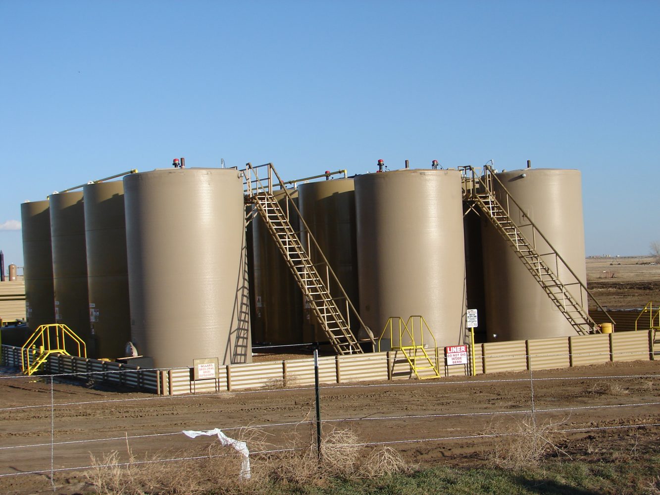
Eaton has been bombarded over the last three months by the constant oil field traffic and different pieces of seismology and oil field equipment. Many students have seen large trucks parked outside of the school and other box like pieces of equipment sitting around Eaton. Each one of those pieces of equipment has a special job that allows for the oil field companies to see where the oil is located. One company that has spent of good percentage of time to mapping of oil is Geokinetics. This company is known for seismic processing which involves sending large seismic trucks called vibrators out to different areas to begin the seismic testing. These large machines use a piston which creates a vibration that is sent through the layers of the ground. According to Geokinetic’s Project Manager Bob Smith, the ‘geophones’ are placed “every 250 feet” which allows the crews in Colorado to pick up any form of vibrations that are made near that geophone location. The data that is then collected from those points then helps out companies like Synergy in Platteville hired seismic companies to help understand the land. This data then helps them plan well and drilling sites. Chief Operating Officer Craig Rasmuson said that the “seismic waves give an x-ray image of the formations 7,200 feet under ground.” Rasmuson is able to look at the oil formations around Eaton and over the past summer Synergy has drilled five wells in the Eaton area. Rasmuson is still hoping to receive data from the current 50 to 70 mile area that has been evaluated in Weld County. Geokinetics is also known for large onshore and offshore operations that has helped produce a large amount of information that has allowed for local oil and natural gas companies to begin their drilling. Smith overlooks the current seismic operations in Eaton and he said that his operations run from “east to west” which has slowly moved his crews into the urban areas. Aside from the current and great seismic discovers in urban Eaton, Smith cannot just place a ‘geophone’ wherever his crews feel best fit. Every ‘geophone’ is placed in a pre-determined area that has been mapped out by the company’s geologist using old data. Smith’s crew said that when they come into Eaton everyone is first sent in with maps and they make their way over to meet with the Town of Eaton and multiple city officials to establish the town’s right of way. According to Smith,”the right-of-way is the determined areas that the town will allow for the equipment to be placed.” This allows Smith and his team to look at their pre-plots (the GPS locations for the plots) that they are sent with and determine if there are any changes that need to be made to the pre-plots and what types of permits that are needed for their current work. Smith must apply for permits from both the city and state to be allowed to do testing in the area. The ‘geophones’ tend to last for about 3-4 weeks and then the crews are sent out to pick up the equipment and Smith and this team move onto another area that is farther west. For Eaton High School, there is some money that is received from the oil and gas residuals. Dr. Randy Miller said that the money, “goes into a special fund and the board’s plan is to use it with technology.” The school board has bought chromebooks with this money. The money comes from the fact that there is a directional well that runs under Galeton Elementary School and there are oil companies that are fracking under the school. The money can be used towards any area in the district but maybe it would be nice to have enough money to purchase a laptop for each student but the problem is that the money will slowly decrease as the oil is also decreasing. For the time being the money will be spent on upgrading the district’s current technology.


